The Short History of Sat Nav (and why it matters)
Modern in-car navigation relies on global satellite systems (GPS, Galileo, GLONASS) to calculate your location to within a few metres. Early civilian receivers (1990s) were accurate but basic. In May 2000, a change known as “Selective Availability” was removed, sharpening civilian GPS accuracy dramatically. Since then, digital mapping, crowd-sourced data and live traffic feeds have transformed sat navs from static route guides into dynamic, predictive tools. For chauffeurs, that evolution means better ETAs, safer diversions and far fewer surprises.
TomTom vs Waze: strengths we deliberately combine
TomTom (our strategic backbone)
-
Market-leading live-traffic intelligence and consistently reliable ETAs.
-
Excellent at re-routing early to avoid stationary queues and average-speed zones.
-
Clear lane guidance and motorway junction logic—great on unfamiliar long-distance runs.
Waze (our tactical early-warning system)
-
Community reports flag hazards you won’t see elsewhere yet (debris, potholes, temporary closures, vehicles on the hard shoulder).
-
Smart for dense urban areas with pop-up roadworks or event traffic.
-
Helpful incident chat and granular updates when something changes this minute.
Why we run both
-
Dual-source validation reduces the chance of being caught by late-breaking incidents.
-
If one system underestimates a build-up (think M25 ripple jams), the other often catches it.
-
Two perspectives let the driver—the person truly accountable for your journey—choose the right option for comfort, timing and safety.
Case study: Southampton Airport → Norwich
Typical routes include:
-
M3 → M25 → M11/A11 → Norwich, or
-
M3 → M25 → A12/A140 (depending on time of day, works and events).
Potential pinch points we anticipate:
-
M3 junction flows near Winchester;
-
M25 (particularly between the M3, M4 and M40 corridors, or towards the Dartford Crossing if re-routing is needed);
-
A11/A12 roadworks and agricultural traffic on connecting A-roads into Norfolk.
Our planning steps:
-
Pre-trip, we model both route families in inRoute and TomTom, then sanity-check in Waze.
-
We schedule comfort breaks (if needed) and agree preferences with you (e.g., “shortest time” vs “least motorway”).
-
We monitor weather bands—heavy rain or cross-winds can affect exposed sections.
-
We keep you updated with realistic ETAs; if your schedule changes, we adapt.
This approach is the same whether it’s Business Travel, a family Airport Transfers run, or a long-distance Leisure Travel day out.
Why professional planning beats “just following the sat nav”
-
Context matters. Not all delays are equal; sometimes a five-minute queue avoids a risky rural diversion.
-
Comfort first. We balance time savings with ride quality—avoiding pothole-strewn lanes in favour of smoother A-roads where sensible.
-
Contingencies are ready. If an incident closes a link road, we already know Plan B and Plan C.
-
Communication. You’ll get clear ETAs and progress updates—particularly helpful if you’re connecting with trains or flights.
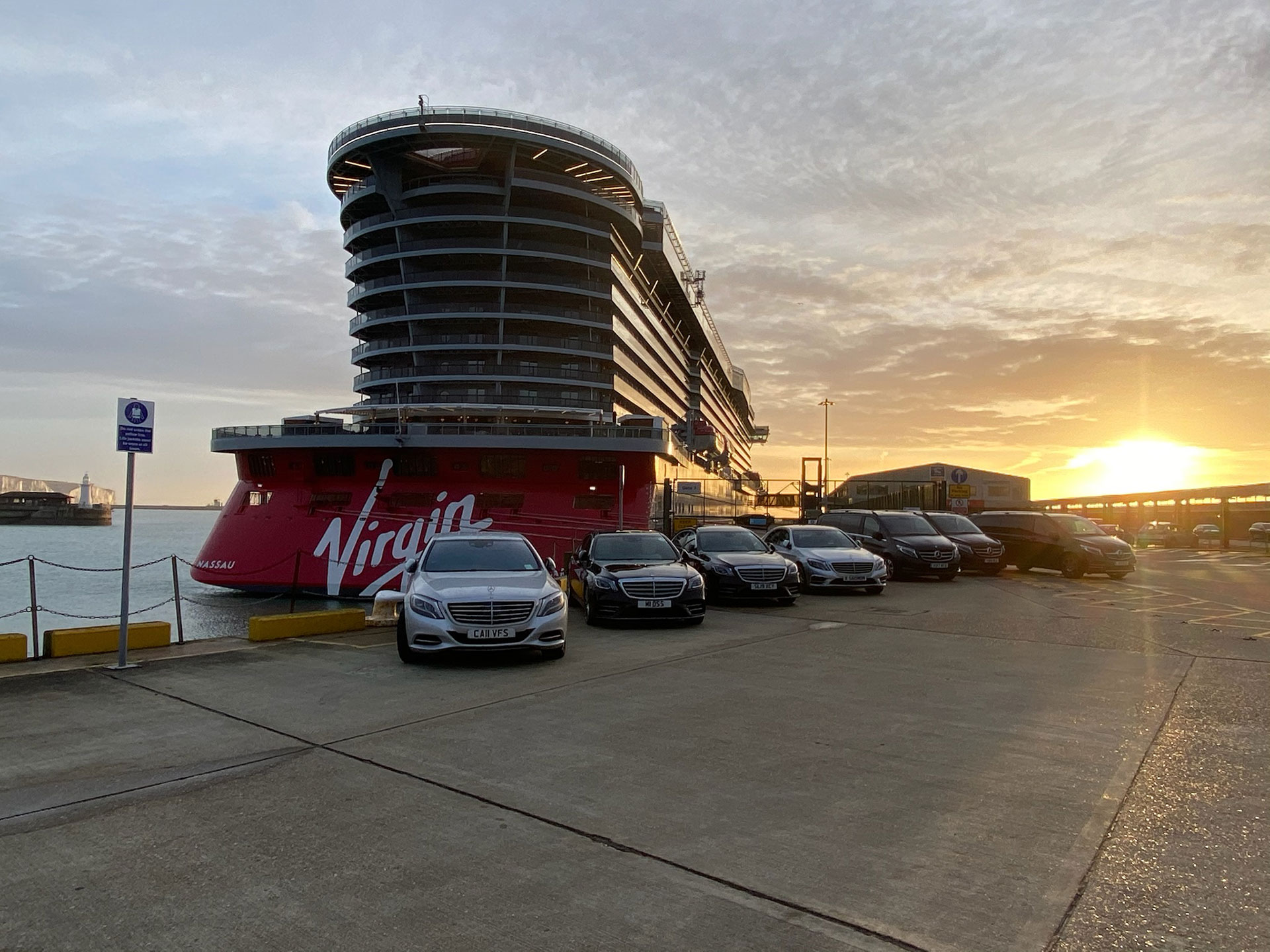
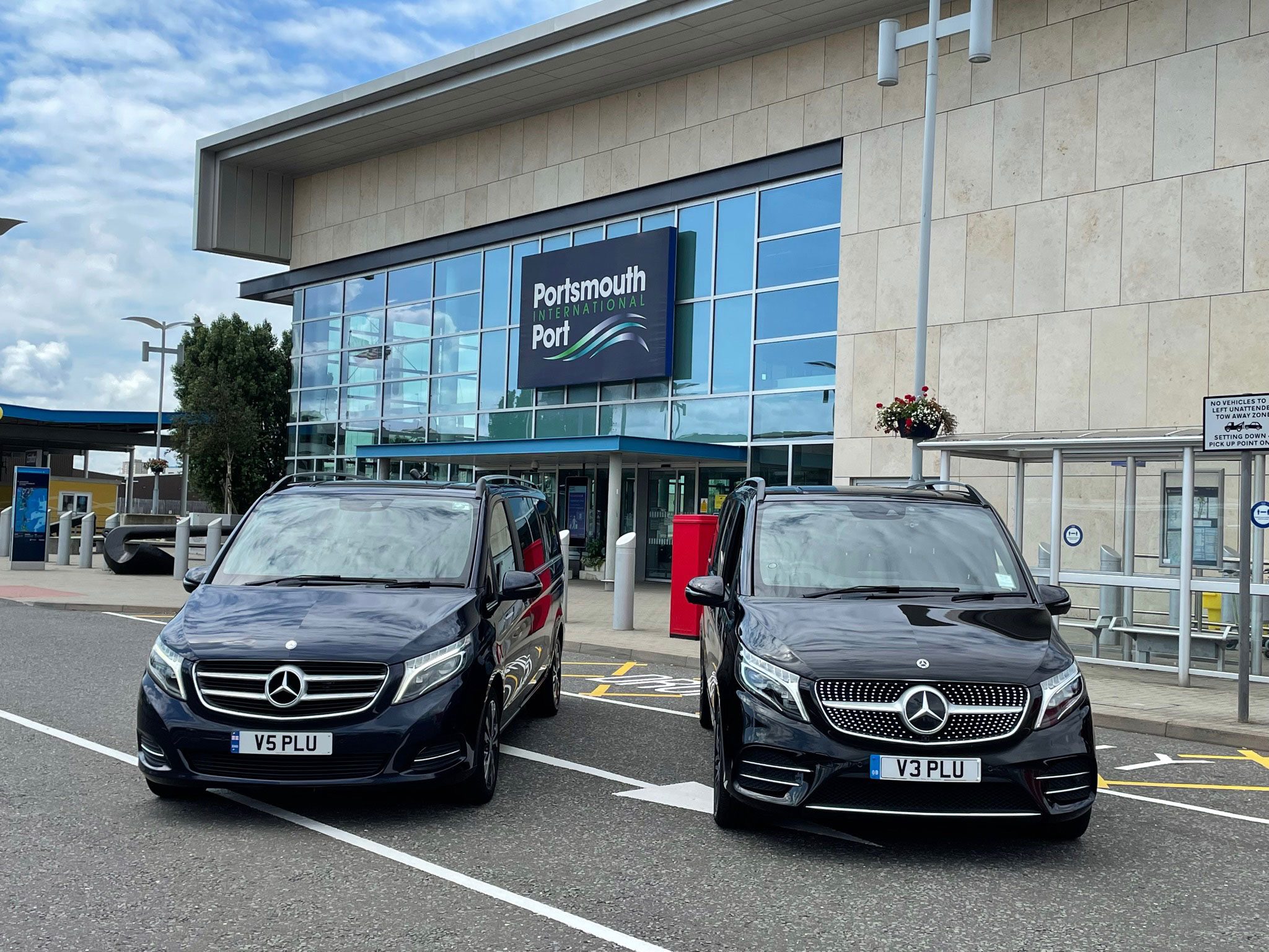
Tech is only half the story: vehicles, drivers, service
Route planning is powerful because it’s executed by experienced chauffeurs in the right vehicles. Our fleet (see Our Vehicles) is maintained to exacting standards, licensed and insured, with charging cables, water and in-car Wi-Fi on request. For families, we can provide booster seats (licensing rules allow booster seats only). For corporate travellers, we align the route plan with your day’s agenda, stops and privacy needs—and your reservation is always managed through Bookings with written confirmation.
Fact of the Day
In May 2000, the US ended GPS “Selective Availability”, improving civilian GPS accuracy from around 100 metres to roughly 20 metres overnight—transforming in-car navigation.
Local Relevance: Hampshire, Southampton Airport & beyond
Based in Hampshire, we complete hundreds of Airport Transfers each year to and from Southampton Airport, Heathrow, Gatwick and London City. A Southampton–Norwich run is a perfect example of why dual-source sat nav pays off: the balance between M3/M25 corridors and East-Anglian A-roads changes hour by hour. Add in airport forecourt rules (many UK airports now charge up to £7 for drop-offs) and live roadworks, and you can see why our pre-planning plus dynamic monitoring delivers the calm, on-time arrivals our clients expect.
FAQs
Do you track flights for airport pick-ups?
Yes. We monitor your flight and adjust your pick-up time automatically.
Can I request a specific route (e.g., via A11 instead of A12)?
Of course. Tell us your preference when you book via Bookings and we’ll plan accordingly.
Which is “better”: TomTom or Waze?
Both are excellent—TomTom for strategic routing and ETAs; Waze for community-reported, minute-by-minute incidents. We run both and choose what’s best in the moment.
What if the M25 shuts unexpectedly?
We’ll communicate quickly, switch to our pre-planned fallback, and keep you updated with a revised ETA.
Can you provide child seats?
We can supply booster seats only (licensing restriction). You’re welcome to bring and fit your own child seat if needed.
Do you offer account access for regular travellers?
Yes—ask about our account options. You can also Register or Login online to manage bookings.
Ready to book?
Whether it’s Southampton Airport to Norwich, a London day of meetings, or a multi-stop itinerary, our Chauffeur Services team will plan, monitor and adapt—so your journey is effortless.
Book Your Chauffeur Service Today
Whether you’re a regular client or planning your first journey, Plus Chauffeurs is here to provide luxury transport solutions that match your expectations — both on the road and online.
Book your next chauffeur-driven journey today!
Call us at +44(0)3333444018, visit www.pluschauffeurs.co.uk, or email enquiries@pluschauffeurs.co.uk to make your reservation.